By Jacob Stid
In Holland, we have access to a unique system of coastal dunes. Dunes are highly valued for their natural beauty and lakeside views.
Unfortunately for those who live on the coasts, dunes migrate and change over time and have even been known to bury human structures. Thus, until recently, studies of dune mobility were focused on preventing further dune motion in order to prevent damage to lakeside structures.
However, the dune’s original residents were diverse ecosystems, and recent research has shown that dune migration is essential for preserving this diversity. Understanding and predicting the complex nature of how coastal dune systems change over time is a focus of Hope College’s Geology Department. The ultimate goal is to find a balance between the stability and mobility in dunes.
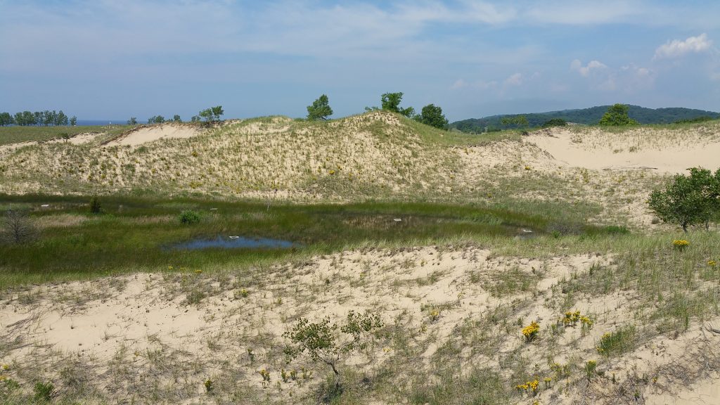
Dune mobility depends on vegetation. In general, areas with abundant vegetation are stable (not migrating) while areas containing open sand with little-to-no vegetation can be active (migrating). Dune activity also depends on the orientation of a dune surface with respect to wind directions and its topographic position.
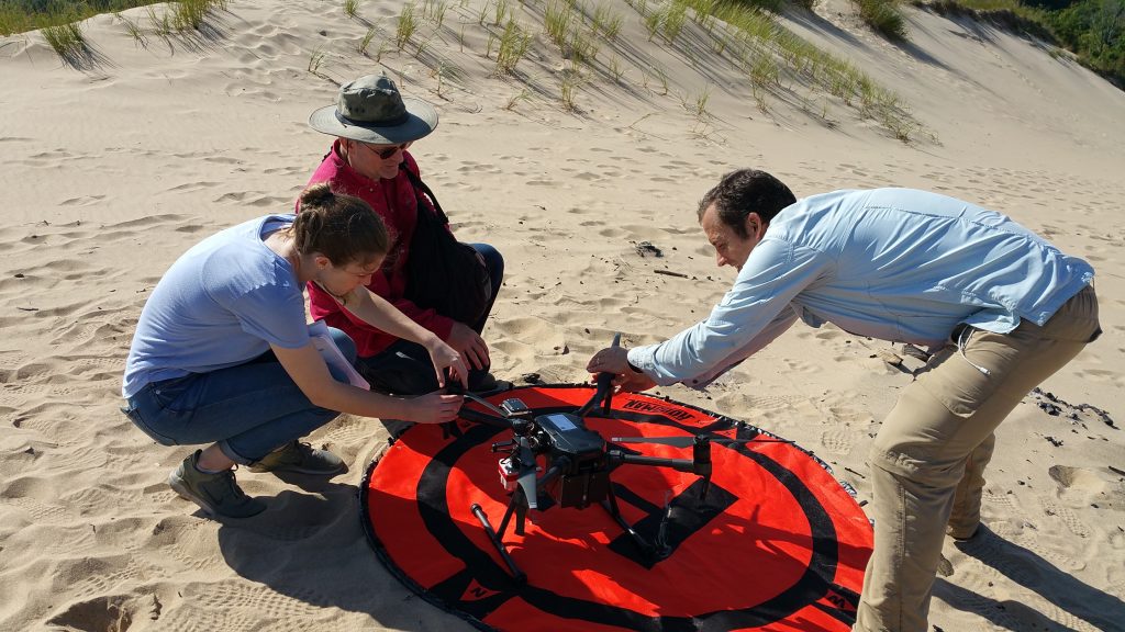
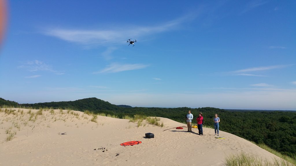
The goal of my research project was to use remote sensing data acquired by a drone to evaluate these factors and combine them to form stability maps in coastal dune systems. The maps will then be used to guide scientific studies on the causes and mechanisms of dune mobility, which will help guide future coastal dune management.
The Michigami Consulting Group of Holland was contracted to conduct a series of drone flights that recorded high resolution spectral data over the Saugatuck Harbor Natural Area on the southeastern shore of Lake Michigan. The various wavelengths of light and infrared radiation were combined to form images which were used to identify regions of bare sand which are potential areas of future dune mobility.
Using topographic information acquired on the dune flights, we noted the size, shape, elevation, orientation and position on the dune slopes of each of these patches of bare sand. Using this information, we made rough maps showing our predictions of which areas of the Natural Area are most likely to move in the coming years.
Our research is now focused on refining these predictions. Once these techniques are perfected, it should be possible to create maps showing variations in the potential for mobility within dune complexes in other locations. These maps could then be used to help manage those dune complexes.
For example, maps showing potential for mobility could help guide developers away from areas with high potential mobility. Rather than working to stabilize these areas, we could leave them free to migrate, thereby preserving coastal dune ecology.
So, the next time you’re out walking the dunes, take your own picture of your favorite spot. Then the next year, take another picture and see if you spot any differences. It would be a fun remote-sensing project, and you might be blown away by how much change occurs.
Jacob Stid is a recent graduate of Hope College where he spent his senior year researching dune mobility. He is currently pursuing his masters in geological sciences at Michigan State University.
This Week’s Sustainability Framework Theme
Environmental Awareness/Action: Environmental education and integrating environmental practices into our planning will change negative outcomes of the past and improve our future.
ABOUT THIS SERIES
Living Sustainably is a collection of community voices sharing updates about local sustainability initiatives. It is presented by the Holland-Hope College Sustainability Institute, a joint project of Hope College, the City of Holland and Holland Board of Public Works. Go to www.hope.edu/sustainability-institute for more information.